Wednesday, June 20, 2018

Point of Human Origins


17th June, 2018

Mosselbaai, South Africa 


The wind was sharp against the cliffs, white capped waves racing to meet the sharp rocks below. Above us and around us is blue sky, the edges of the cliffs rimmed with bright green grass: the edge of the Pinnacle Point golf course.


In front of us, a gate encloses the staircase which clings tenaciously to the side of the cliff. These stairs, our guide tells us, were constructed by a local farmer, who built them in sections at his farm, then transported them on a tiny baakie (truck), swaying down the road with the wind and the weight and width of the stairs. This was before the resort, before the development and placement of the houses. In order to prevent the deaths of any students attempting to access the caves below, stairs were decidedly necessary. Survey of the Pinnacle Point sites began in 1999, during a heritage assessment for the construction. The resulting finds uncovered significant deposits, launching excavations which have lasted two decades and targeted multiple caves.

Below, halfway down the cliffs, we pause to study pale stone peeking under thick brush. It is the remnants of a speleothem and concreted sand dune, the only hint that the shattered rock on the beach below formed the roof of a massive cave. The pounding waves eventually weakened the stone, causing collapse. This is a pattern repeated frequently over hundreds of thousands of years, during the ocean recessions and incursions, creating and destroying caves.


The landscape can offer tantalizing clues to understanding early humans. Paleo reconstructions can tell us what types of landscapes humans navigated, but how and when it changed, and how humans incorporated these changes into their lifestyles and cultures. Cave 13F hints at long term environmental shifts, showcasing modifications and damage to its walls, providing a history. While it’s too low to retain archaeological deposits, which would have been washed out during a high sea stand around 130,000 years ago, the geology tells other stories. Aeolianites (concreted sand dune) trace their way up both walls, meeting speleothems. Preserved chunks of coral line the stone, reaching to the ceiling. At one point, the cave was underwater, at another, it was sealed by a sand dune. Both options rendered it inaccessible to humans, and unlikely to yield the archaeology we seek. However, the knowledge it shared of the environmental changes was invaluable.


Cave 13B rested high above 13F, high enough that sediments survived destructive waves. In addition to traces of sand dunes, it holds human occupation layers, dating from 160,000 to 90,000. Archaeologists uncovered amazing finds: early consumption of seafood and symbolic gestures. Among the shifting landscapes and the challenges, humans thrived.  


Along the rocky shoreline, other caves and remnants of caves still exist. Some of them are sterile: giant boulders covering any potential finds, others lacking any human influences. Still others have geological significance, offering a glimpse into the formation and dating of the coastline, similar to 13F. however, the real find is around the corner, through a low lying tidal zone. The sharp and steep rocks are sometimes treacherous, made slippery by the spray. We waited until low tide to creep through the lower ledges, reducing the risk of injury. Around the corner, the bay curves under massive houses, blue sky meeting blue sea, white capped waves racing towards us to collide with the rocky shoreline. At the base of the cliffs, we pause, grabbing lunch before wandering, rock to rock, through tidal pools and above the surging foam. Mussels, starfish, sea slugs and oysters await us under the dancing surface.


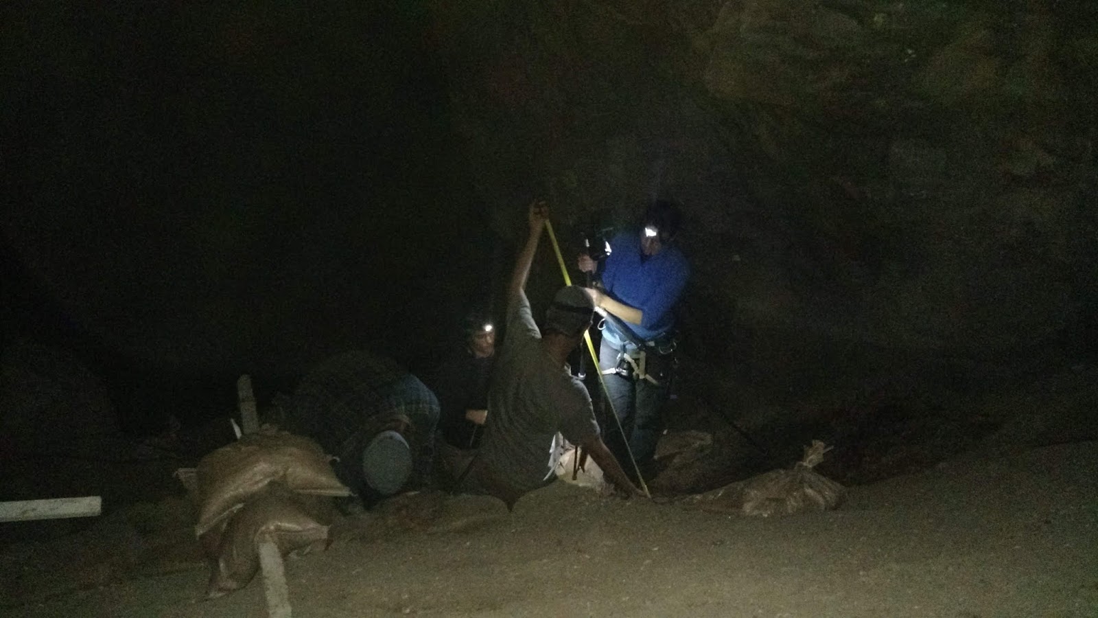
The next stop is rockshelter, a fault in the cliff. Once, we are told, it was a cave. The sediments preserved oddly, the water escaping from the cliffs above tearing through the inner deposits, while the waves beat at the edges. In the end, only a block of sediment preserved. Excavations spanned a sterile dune formation at 90 thousand, and again at 70 thousand, up through 50 thousand years ago, uncovering a fascinating history.


The significance of the site is not only tied up in sheltered caves, which would have offered early humans a residential area, a home base. Our next stop is a dune formation at nearby Vleesbaai. Our drive takes us through private land, across open fields, down the side of rolling hills and through dense brush. The top of the dune is covered with artifacts, disturbed from their rest, and the fossilized remains of roots poking from red, hard sand. The red layer is oxygenation from the organic matter, altering the soil after hundreds of years. But our prize is halfway down the dune, a series of hefty stairs cut into the sand. Excavations not yet covered by the constant migration of the dunes. The shelf is more stable than it looks, the sand solid. The shelf has revealed discarded stone tools, used during trips from the cave, broken, created and cast aside. Significantly, it holds crypotephra, or the tiny glass shards vomited forth by a volcano. The ones uncovered here date to the Toba supervolcano, a 74,000 year old eruption in Indonesia. This is the ultimate dating technique, offering high resolution glimpse of activity during this time. Pinnacle Point also harbors these shards—giving researchers the ability to link the sites and activities.

The dunes are harder to climb than descend, the sands pulling us down. Sometimes, it is good to take a moment, to pull our heads from the dirt, to study those who came before us. To remember the bigger picture. Humans are extremely curious—and, we wonder, were the ancient ones the same? Perhaps one day we will know.

Sunday, June 17, 2018

The Best Laid Plans


17th June, 2018
Knysna, South Africa 

Our second week in the field has been just as crazy and as productive as our first one. We had been warned of a taxi strike in Knysna, which was to shut down the major roads. Mentally we (at least, the students), began prepping for a lab day on Monday. Before dawn, we were up and ready to go, waiting on our scouting driver to send us a message letting us know that everything was clear or if we were stuck at the flats for the day. Surprisingly, the anticipated road blocks did not occur, instead they were moved east to the Township. Admittedly surprised, we loaded the vehicles and headed to site. The roads were hauntingly empty, devoid of the usual traffic. Not even the regular foot traffic was visible.

Tuesday our schedule changed again. Our OSL specialist is here, taking samples. Optically Stimulated Luminescence is a dating technique, measuring the number of trapped electrons. It requires samples to be taken in the complete darkness, as exposure to light causes the release of the electrons. When the sediment is exposed in a lab, under controlled conditions, the number of electrons can be correlated to a timeline. However, before this could occur, Dr. C decided that we needed to complete a round of night photography. Night photography generally requires a lot of preparation, given that several of us must remain onsite and clean and chit the section prior to photographing it.  The chits are the most important part—they are one cm crosshairs with unique numbers that are shot in with the total stations. This allows us to create a “3D” image, by tying the spatial data and the overlapping photographs together.


Our vehicles left site as usual, but five of us turned around and returned to site, stopping to grab food on the way. Most of us scarfed down our food by time we reached the glen. It was nearly dark by the time we reached the cave. Using our new night photography manual, we set the tripod on the slope, set our flashes to manual, and got started.


Immediately we had several equipment malfunctions. Although the flashes were linked to the camera, they didn’t offer us enough light to take the high-quality photos necessary. I made the mistake of holding the flash pointed upwards while I scanned the manual, only to be nearly blinded when someone set off the camera. My near blindness didn’t stop me from search the cave for the bat we heard (five people is too many when working in a narrow trench, and I found myself with nothing to do). Between the difficult angles of the slope, the narrow trench and the camera issues, we didn’t finish until ten-thirty. All of us were exhausted by time we returned to the flats.


Our photography adventures were not yet over. On Thursday we had another senior researcher visit, and after some discussion, it was decided that the samples would be taken from a different wall. This session went much smoother—our amazing lab manager Tina brought us a ton of food and drinks, and drove the crew home so we could hang out onsite until it got dark. Because we were shooting a flat wall, all we had to do was take five photos and call it a night. It began to rain as we hiked out, sheets of water turning the headlights of my companions into pale ghosts. The rocks, usually slippery with sea spray, were worse with rainfall. However, we were still in high spirits, glad to have finished early. 


Every week, more of the site is opened. This time we stepped the long section back another quad (a 50x50 cm square that one excavator digs), moving into the LSA material above where previously excavated. In the trench, we are moving rapidly through the nearly sterile, rocky layer. Generally digging that many rocks drives our excavators a bit nuts, so we have changed up people frequently. My job is usually to “gun,” i.e. collect the spatial data we use for analysis of density and placement of different types of artifacts. 


Friday we realized how much sediment was collecting onsite. Everything that gets dug is collected—dirt, rocks, ect and bagged. These bags need to be sieved and the contents analyzed. This year, our designated sieving expert is in Mosselbaai, so we need to take it all to him over the weekend. This meant multiple trips to haul giant bags of dirt to the truck. Somehow, we carried it all out. The storm surge and the spring tide caused the water to rise higher than I've ever seen it, waves splashing across the cobbles of our path, water licking at the road through the lagoon. That night, we gathered at Muse, our favorite restaurant (also conveniently the one we eat at twice a week) for a round of beer and milkshakes. One third of the season is finished. 

Sunday, June 10, 2018

Opening Site


June 10th 2018
Knysna, South Africa


Coming to Knysna is always a bit like coming home. Some things in Knysna have changed. The burnt hills have regrown, bright green vegetation filling the gaps. The lodge has changed as well—the backyard is level, and a new paddleboard rests next to the kayak. We now have wifi, a change greeted with much delight (I now have no excuse not to blog). Other things are very much the same.

Half of our crew was mislaid, tickets cancelled, delayed, or flights missed. Generally, the worst we can expect is for someone—one person—to miss their bus. However, six of eight incoming students missed their arrivals, turning our weekend into a constantly evolving schedule. Fortunately, the MAP (Mosselbaai Archaeology Project) CRM people spent a considerable amount of time sorting through equipment and prepping it for our season. Generally, this is a last-minute action performed by newly arrived students and the MAP staff, but this new system works much better.

The traffic appears to be worse, ensnaring us as we drove through town. Still, the sunlight glinting off the lagoon and highlighting the rim of the Knysna Heads makes up for the commute. The glen hasn’t changed. The wind comes whistling through like a cannon, tearing through our layers of clothes. By the time we left, I think all of us were quite ready to be out of the wind. The city has installed a new staircase since last year. Despite the damp wood and glistening surface, the broads were not slick enough to cause an accident. The trail has become significantly more overgrown than normal, healthy, thick fynbos tangling our steps. The fire has allowed the vegetation to come back so much stronger.


Once at the base of the cliff, we unloaded and had everyone wait while Dr. C and I set the ropes. It took us some time to remember how to tie them, fortunately, someone had the foresight to tape the portions where the knots are placed. Once everyone arrived we began planning how best to attack the mound of partially cemented sandbags reaching up the slope. Forming a chain, we removed the layers of sand, splitting them into piles of “good,” “recycle,” and “rock.” The sandbags, frayed by years of use and exposure to the elements, tore as often as not, and soon a layer of bright yellow sand covered the turrets and the exposed sediment. Shortly after, we grabbed buckets and scrapped it away, pouring it into unused bucket bags. Using the boards, we began to break up the hardened sand.


Once everything was exposed, we set the total stations (guns). Our gunners are inching ever closer to the edge, driven by the lowering and shifting excavation. The bad thing about a slope is that eventually you will reach the bottom, which in our case happens to be the edge of a cliff. Once the tripods were set and the guns secured, we ran into a snag: the batteries weren’t actually onsite. In exasperation, a group of us went to pack in more sandbags. By the time everything arrived, it was time for us to depart. It wasn’t until the following day that things began to run more smoothly. The guns were set, not in record time, but without incident. Excavators were assigned to quads. We are opening new quads this year, and the result has given the slope a new depth. I can no longer stand at the bottom of the sequence and reach the top. Another benefit to this is having a lot more excavators—we have set three guns and they are constantly collecting data.

 
 Onsite, there is a rush to set the guns, the lights, the table. afterwards, everything falls into a comfortable but busy lull. Buckets are passed up and down. Artifacts are plotted and removed.  We have yet to spot an elusive otter, but are optimistic. Seeing seals and whale frequently helps.


It wasn’t until Friday that our staircase was set. We spent much of the week dragging several hundred sandbags closer to site, finally gathering them at the base of a cliff. By forming a bucket chain along the edge of the cliff (everyone in precarious positions are roped in), we passed them up. With the creation of our stairs, we are ready for the next five weeks in the field.


Saturday we were excited to visit our favorite market in Sedgefield, where the best food and drinks are to be found. The rain has kept us from hiking, so this first weekend offers more opportunities for relaxing.